
Description
Alternative 1: Brennborg – Eldegard – Skåltråklè – Løst – Skåltråklè – Eldegard – Brennborg
Tour map:
Topographic main map series – M711
Leaf 1517 IV – Hurrungane
Tour map Årdal
Start and end point: County Road 53, Brennborg
Parking:
County Road 53, Brennborg
Labeling:
Information board, sign by the parking lot. Good trail marked in blue.
Height difference:
Option 1: 50–540 m.
Time usage:
Option 1: return 4.5 hours
Alternative 2: Brennborg – Eldegard – Skåltråklè – Kvernli – Skåltråklè – Eldegard – Brennborg
Tour map:
Topographic main map series – M711
Leaf 1517 IV – Hurrungane
Tour map Årdal
Start and end point: County Road 53, Brennborg
Parking:
County Road 53, Brennborg
Labeling:
Information board, sign by the parking lot. Good trail marked in blue.
Height difference:
Option 2: 50–845 m.
Time usage:
Alt. 2: return 5 hours
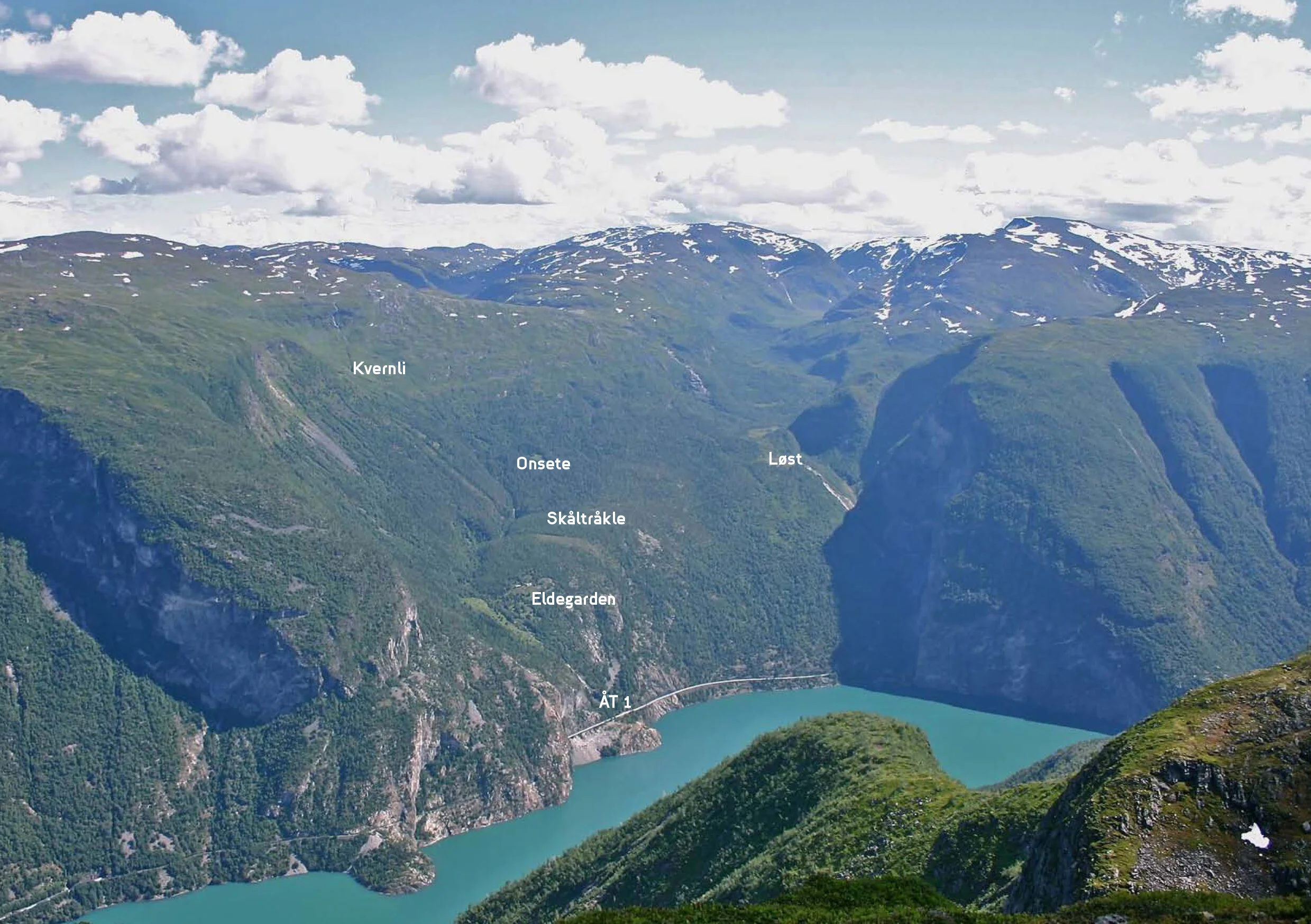
Tour review
Follow the path to the right of the waterfall up to Eldegard. At 300 meters altitude, continue straight up to Skåltråklè. To the right here you can choose the hiking route to Løst. Continue straight to Kvernli.
