
Hiking in Årdal
If you want to spend the late summer hiking in the mountains, then Årdal the perfect starting point for you. Here you will find dramatic scenery and spectacular viewpoints - and even the most hardened mountain hiker will be captivated. It is not without reason that climbing pioneers, artists and mountaineers have found their way to Årdal up through history - but the great thing is that many of the tours are still hidden gems that are mainly known to the locals. Here are our three best tips for a tour with a view in Årdal :
1) Blåberg mines - a close-up tour that gives you full insight
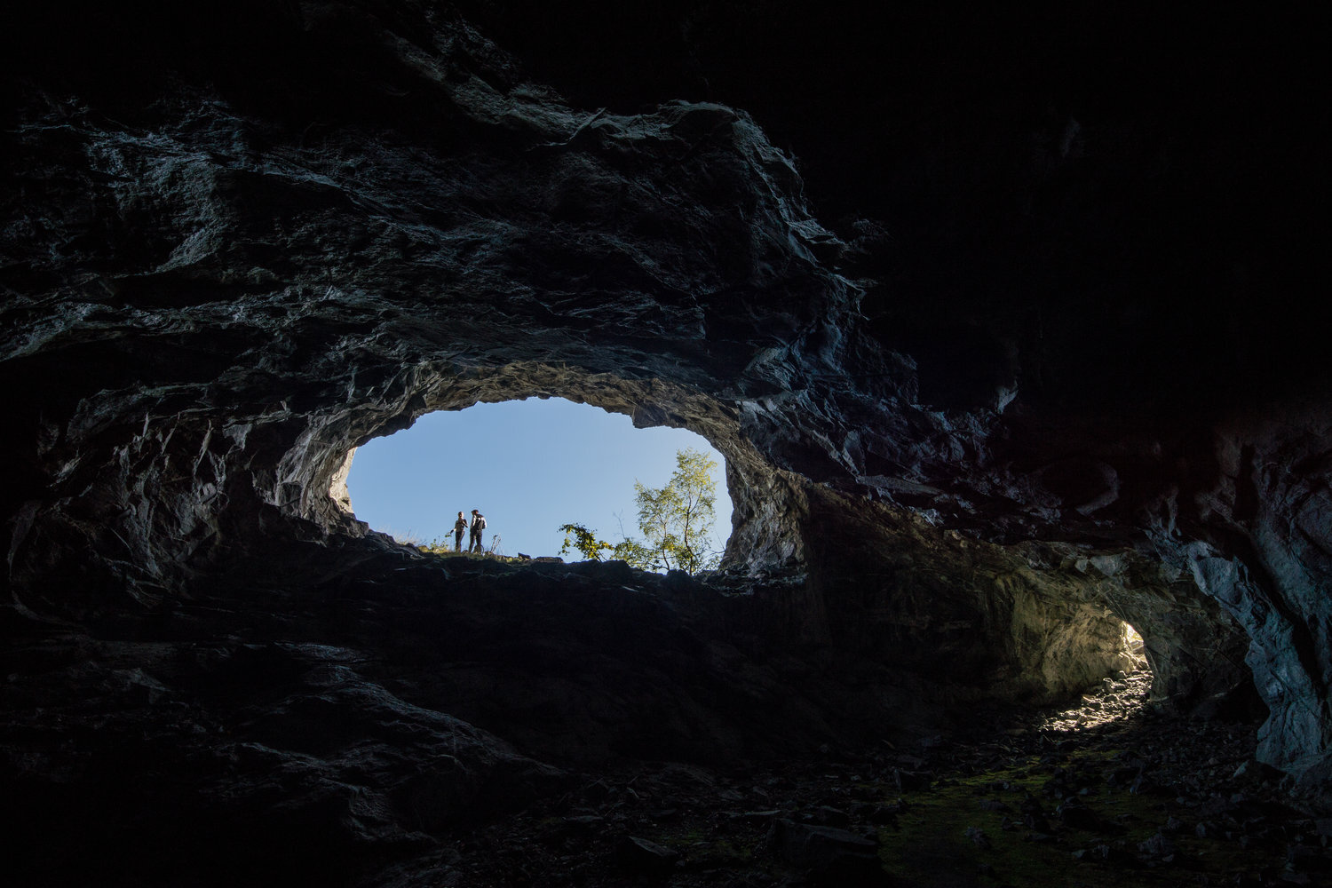
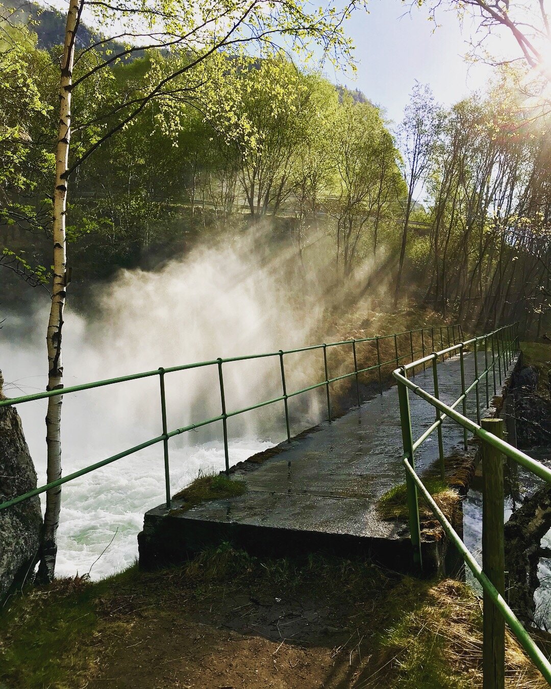
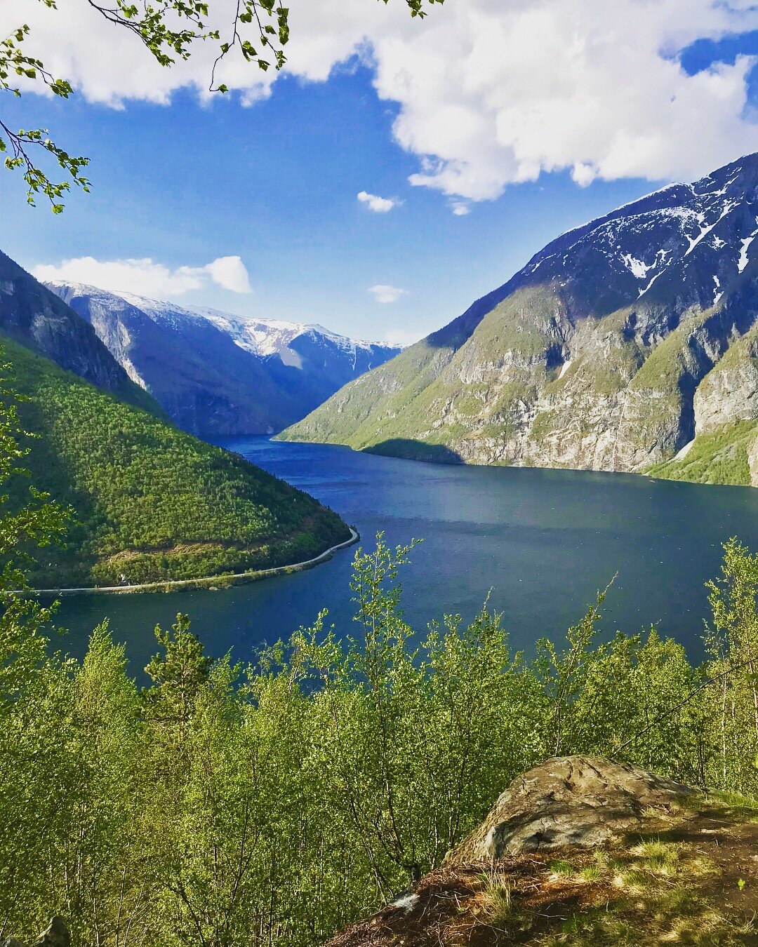
Start at the Square in Øvre Årdal Follow Storevegen and Flotavegen towards Øvstetun and the start of Tindevegen - the road up Fardalen towards Turtagrø . At the fourth bend you cross Fardøla by walking over the Kleivi bridge, and from here you continue on a clear path that leads you up to a mining area that was in full operation 300 years ago. The old copper mines are an exciting destination in themselves for both young and old, and you get a beautiful view of the entire Øvre Årdal , Årdalsvatnet and towards Bøttejuv. You can also glimpse Årdalstangen in the distance. Time: about 1.5 hours.
PHOTO: Rigmor Øygarden and Jan Ove Skjerping
2) Bøttejuvet - summit hike that gives you air under your wings
From Strupesvingen in Seimsdalen you start from the information sign where there is also parking. One walks on a tractor road up Strupane. From here on a good path in hilly terrain to the road split where you turn right towards Bøttejuv. Up to Skår, you walk in wooded, steep terrain. A little way above Skår, the path flattens out, and you follow this for a bit, before turning right. From Bøttejuv (1,322 m above sea level) there is a panoramic view of Hurrungane and Øvre Årdal Time required: approx. 5 hours round trip.
Photo: Rigmor Øygarden
3) Botnanosi - the Årdøls' favorite
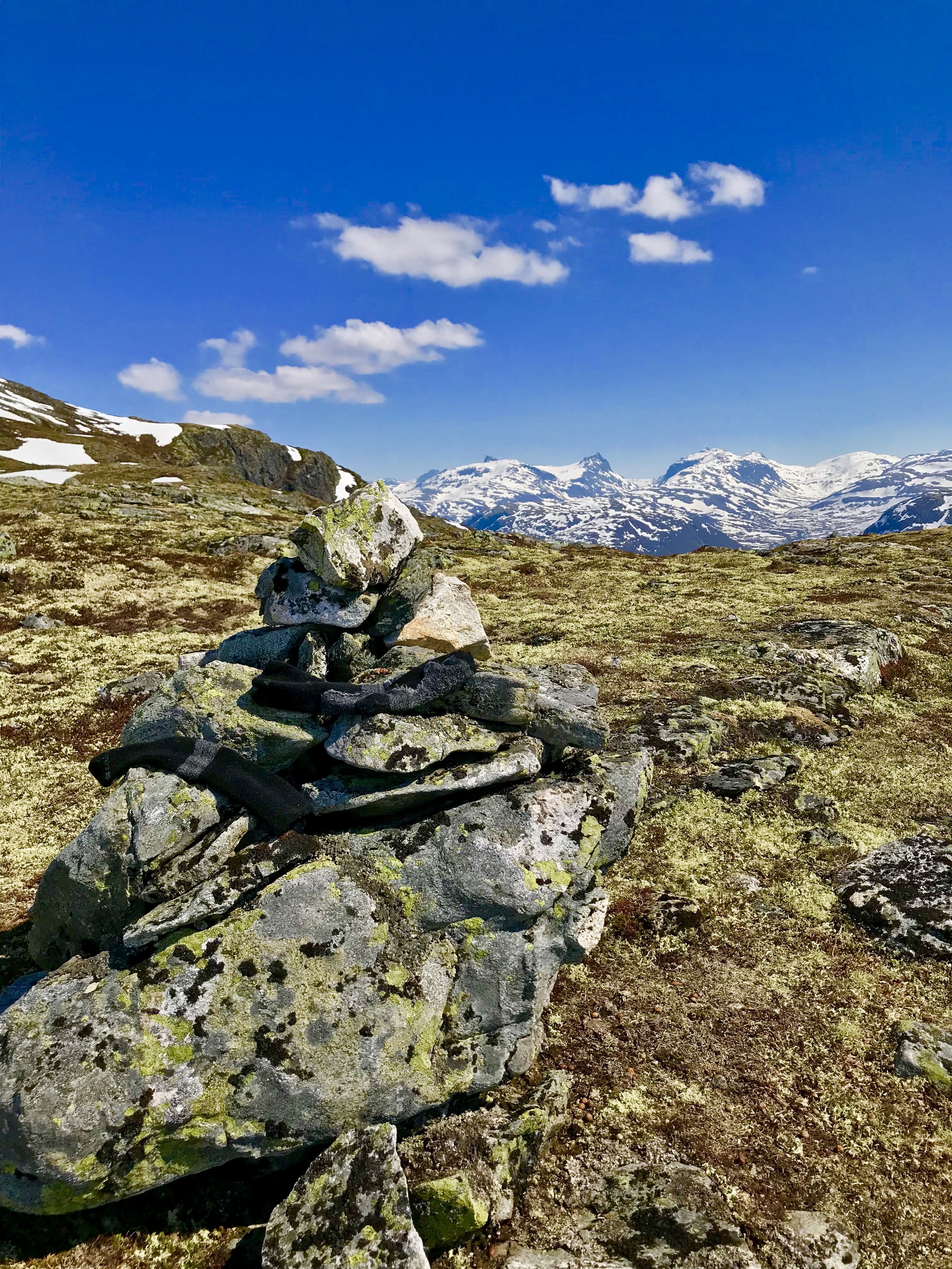
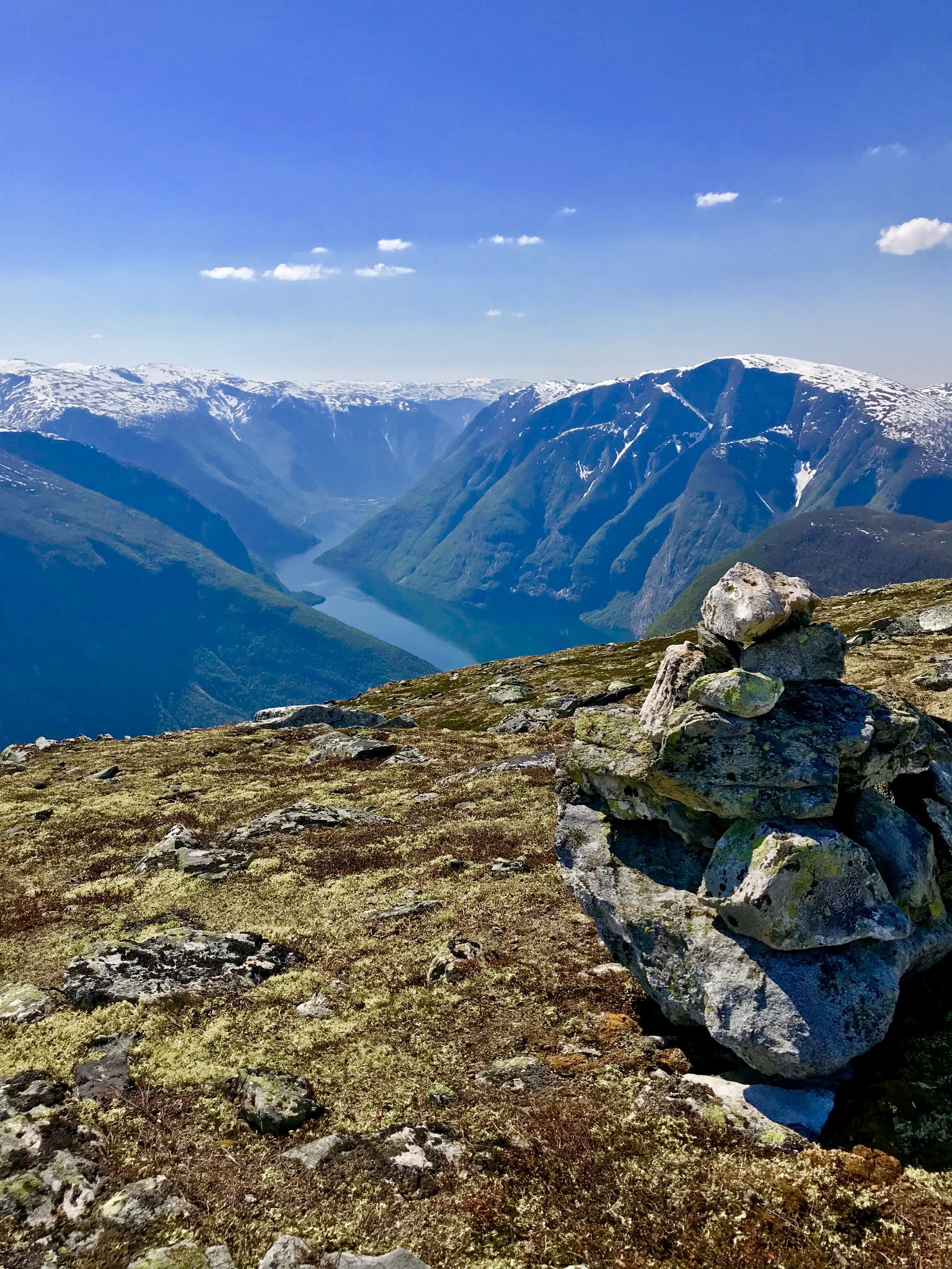
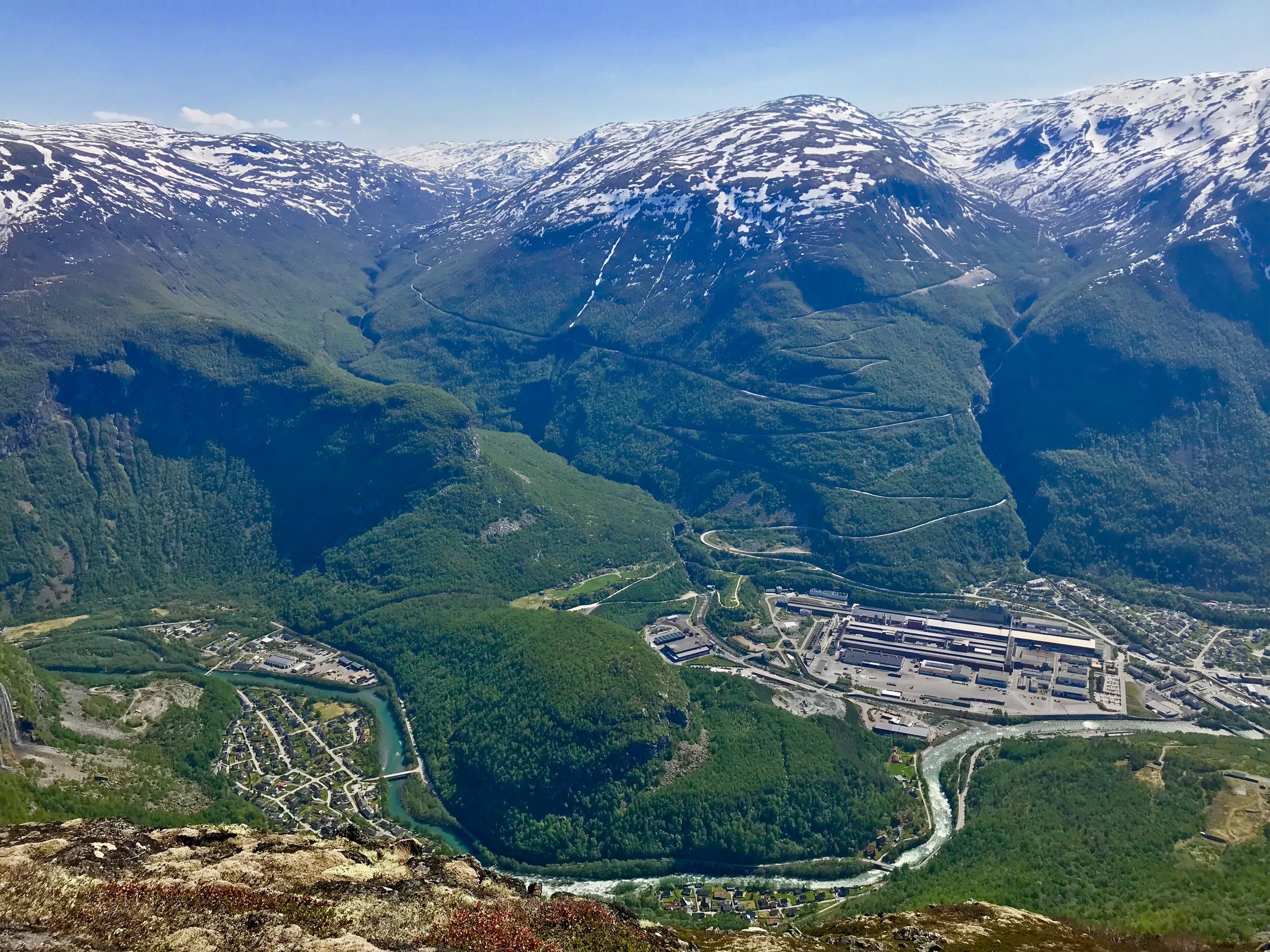
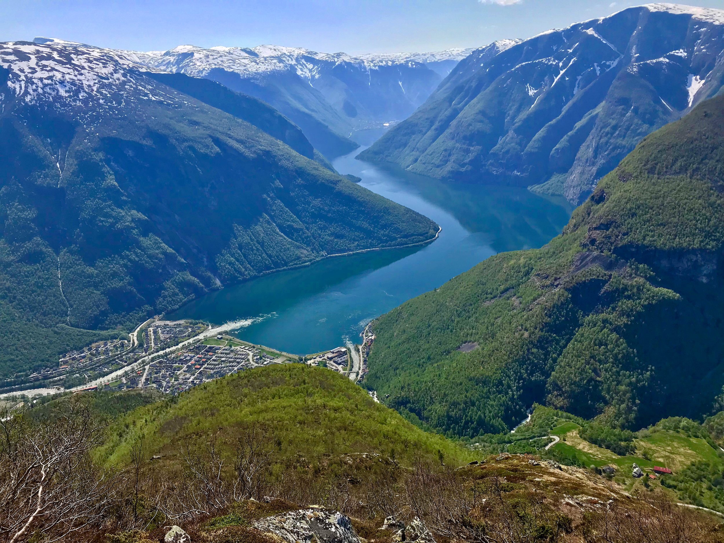
The starting point is the square in Øvre Årdal . Tough start up Mjøbakken, but about 100 meters after the row of houses you turn left (80 meters above sea level) from the asphalt road and enter a nice trail that is well marked. At about 160 meters above sea level you pass the stand at the shooting range of Farnes shooting club. Here the trail goes somewhat flatter through a forest of small birch before it climbs more and comes over into rocks and mountains. The last bend may seem a bit steep from below, but when you get closer it loosens up and it is still easy to make your way. Feel free to take a walk out to the "Bringestein" viewpoint, before continuing upwards towards Botnanosi. In some places it is exposed and steep, so take it easy and stay on the trail. The view from Botnanosi at 1387 meters above sea level is top ten!
PHOTO: Rigmor Øygarden